Hikes to three 8 point and one 6 point summits on my list are all 12 plus km round trips with Mt Bryan the exception its only about a 2 km hike up with 100 m gain for the first kilometre then 230 m gain for the last km its an ankle burner for sure. On checking on Google Earth I was surprised to see the car park is at 600 m ASL.
I digress.
For 300 summits I hiked solo to Mt Remarkable as a special visit for that occasion, Ian VK5IS joined me on my next hike to Mt Brown. We made good progress leaving the Ute at 9 am giving a window of about 2 hours to make the Alert time on top. Fantastic weather on this day hardly any wind we headed up the creek for 3 km before the track ramped up the angle and the pain.
Mount Brown VK5/NE-014.
This spot is where the puff is about to really start so we had a drink and took off some clothing.
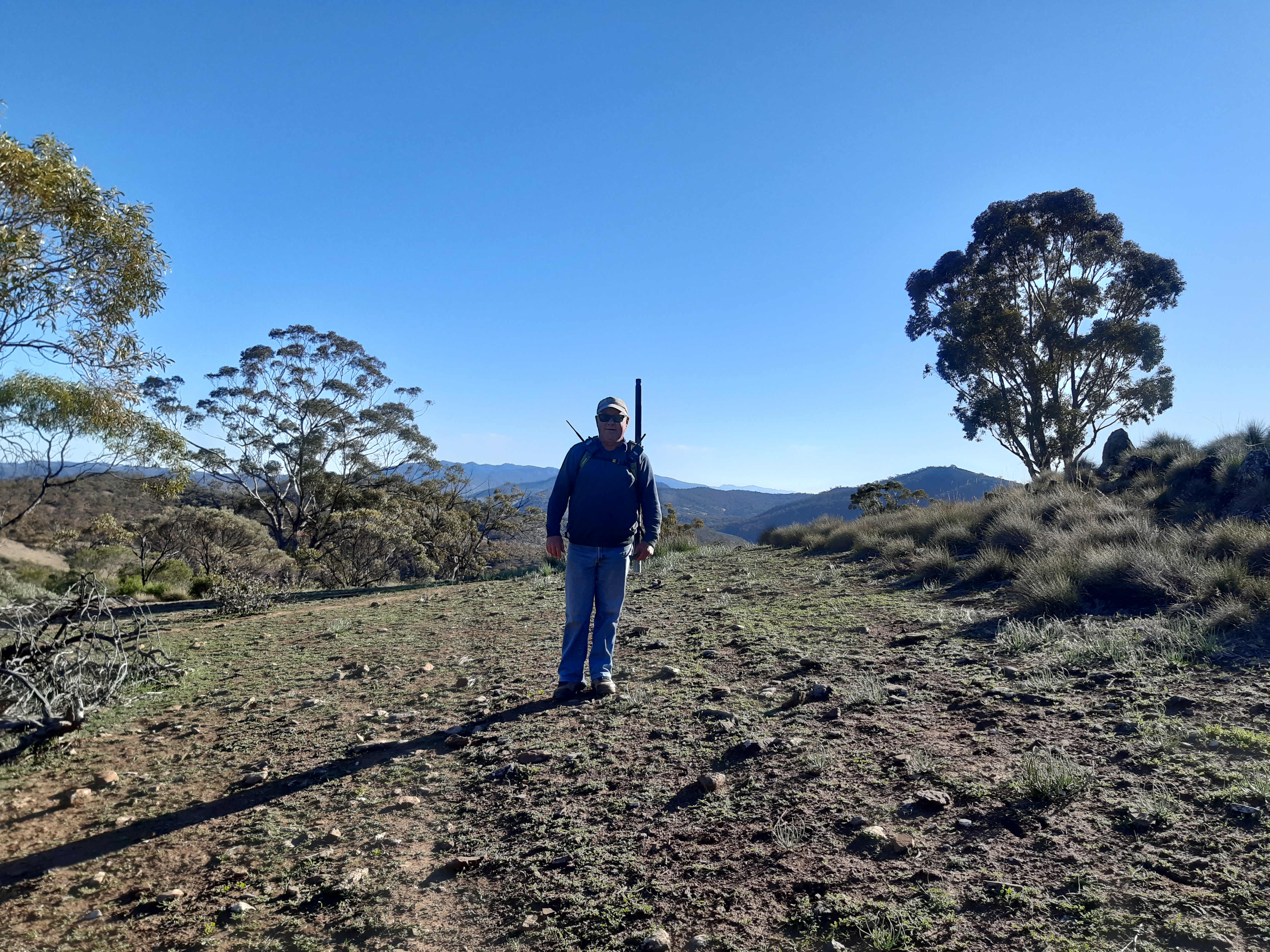
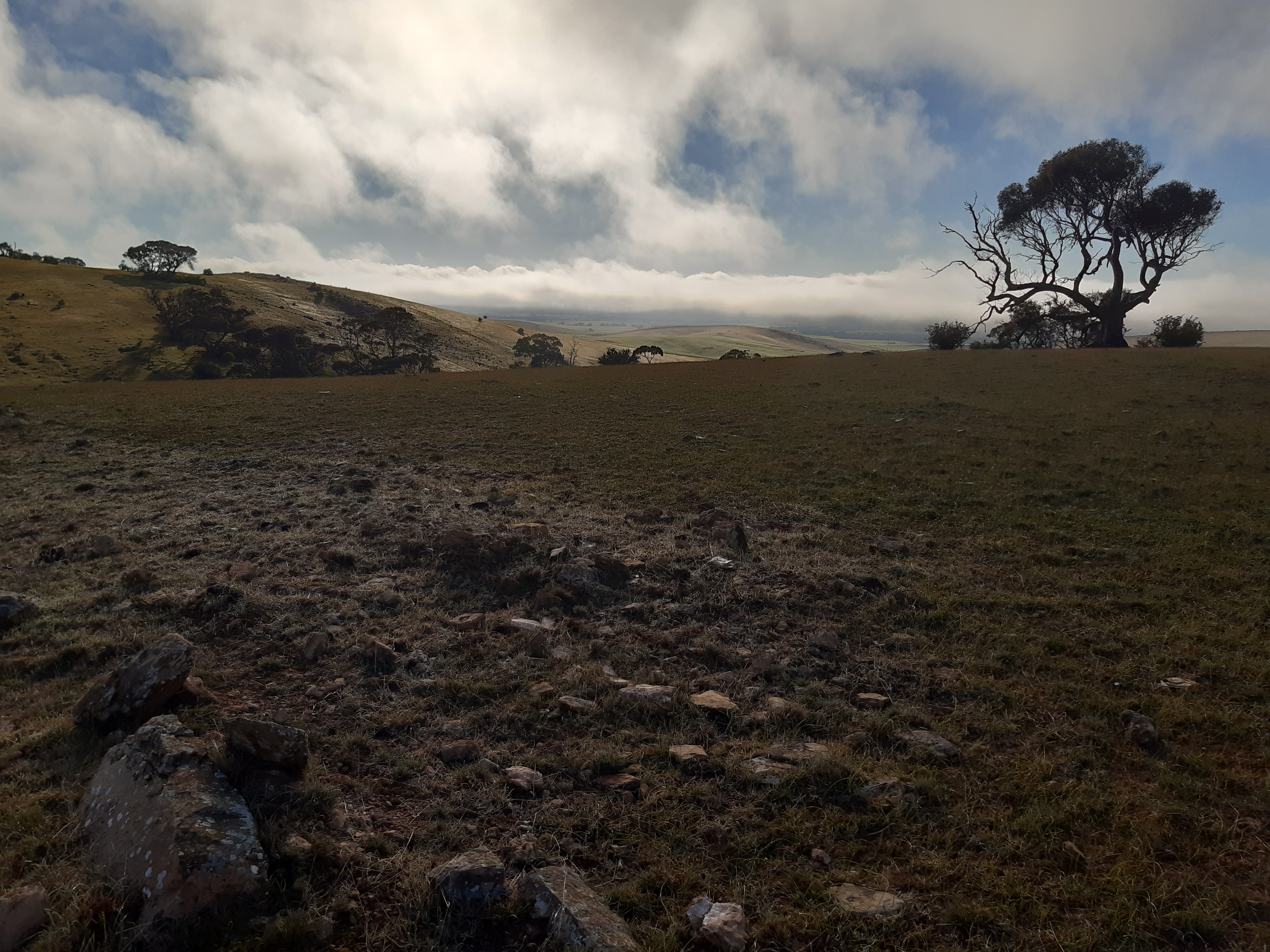
 Great Views out to the north you can see 4 other summits to the north from here, still about 1.5 km to the top, 1 hour done.

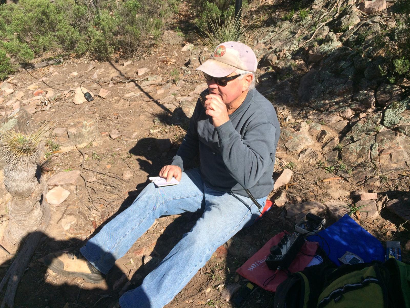
The 2 Ian’s hard at work taking turns giving out points VK5IS on 80/40m ssb and VK5CZ on 80m ssb/cw then 40m cw. Doesn’t seem to be the same amount of chasers on 40m ssb anymore, Ian only had one qso i think from memory.

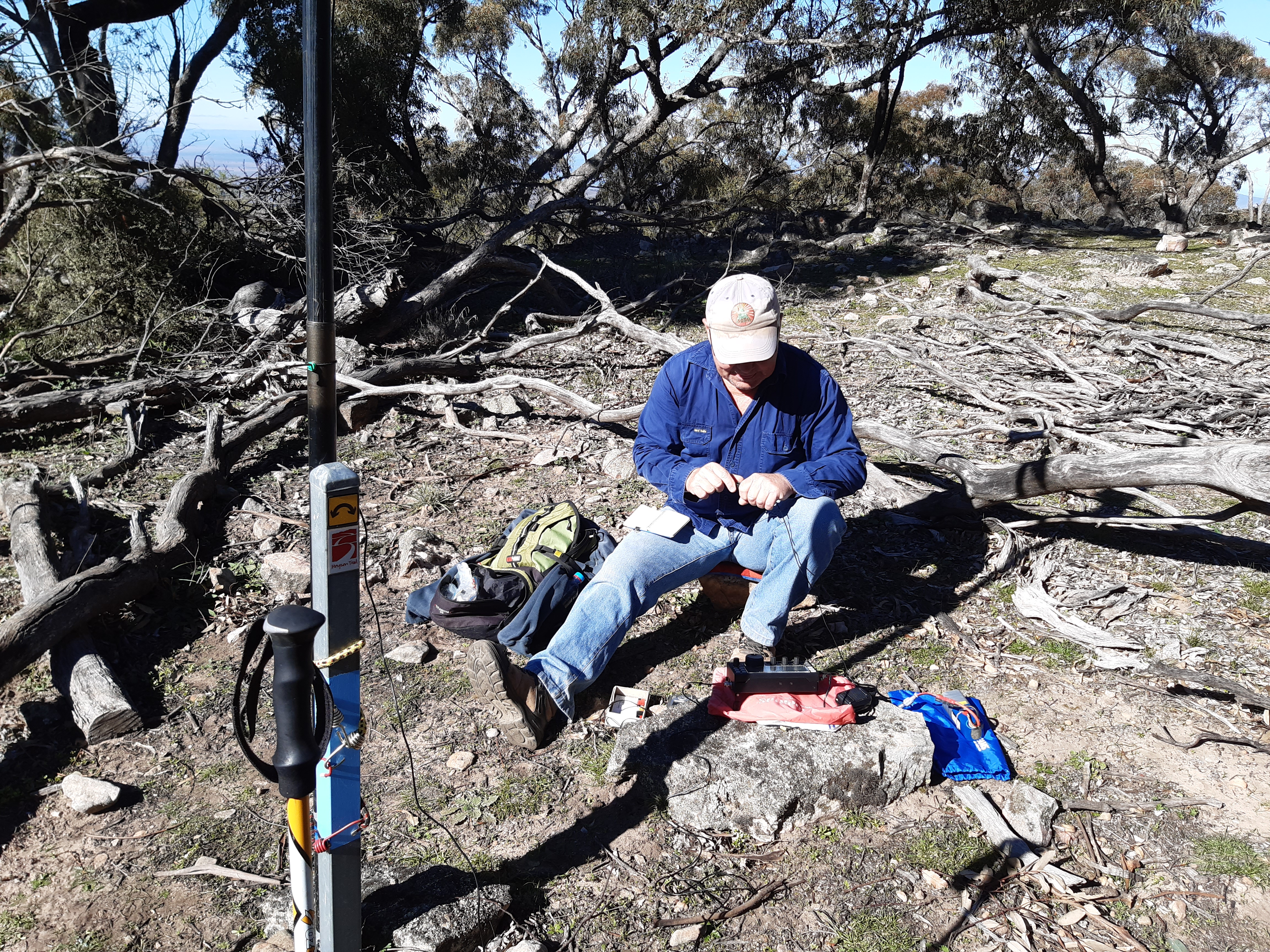
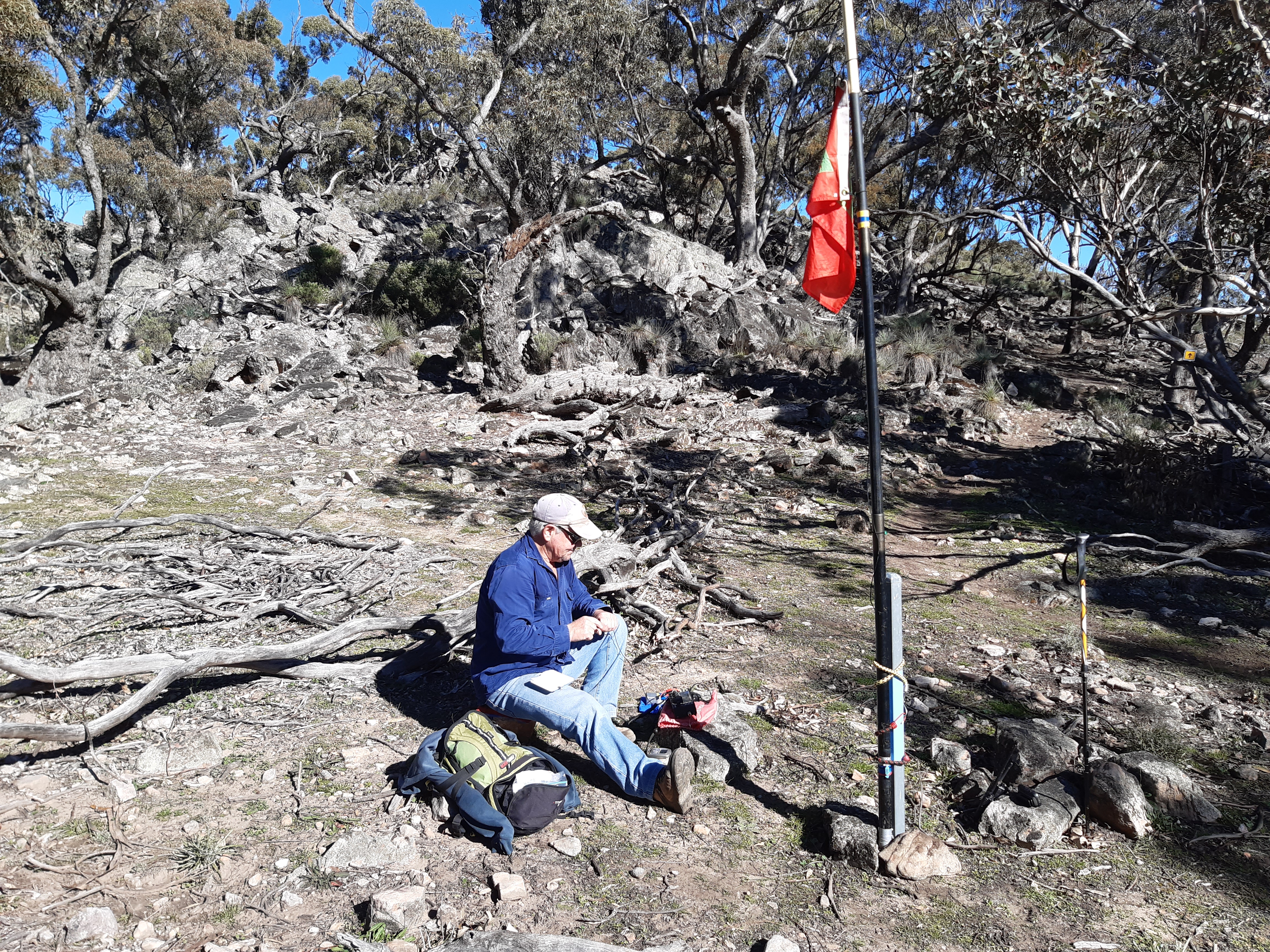
This trail post is ideal for setting up the link dipole and much easier here than on the pile of rocks above us. We both had a good number of locals on 80m then a small pile up on 40m cw of faithful chasers but no ZL this time. Walk time was 1hr 39 min for 6.3 km so a good pace and probably my least painful experience on this summit. Being mid SOTA season for me I guess we should be fitter than normal.
Thanks chasers on Mt Brown the 2 Ian’s ..
Mt Bryan VK5/SE-001
I headed out of Clare early in the morning in nice sunshine and very little wind which is the ideal weather to visit Mt Bryan, it can be really windy on that summit from past experiences. I take a few dirt roads over The Camels Hump range and exit near Mt Bryan Township to cut some kilometres off my trip.


On the road just near Hill Town the fog was starting to get thicker as I went and could only drive quite slowly all the way until Mt Bryan township.
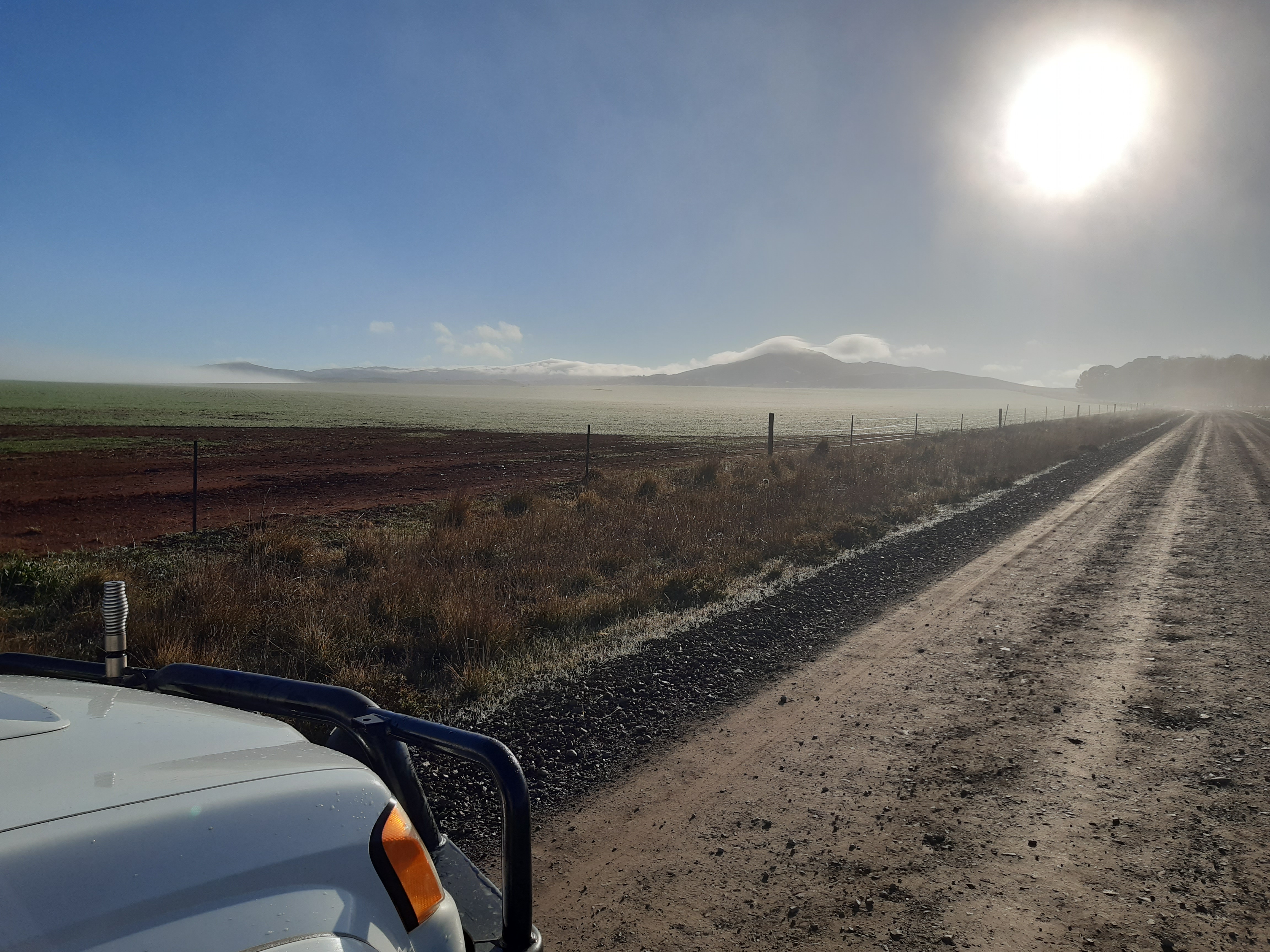
Razor Back Hill on the southern side of the summit covered in fog and my view of Mt Bryan as I left the SOTA transporter.
Fog bank over Caroona Creek Mt Bryan East area.

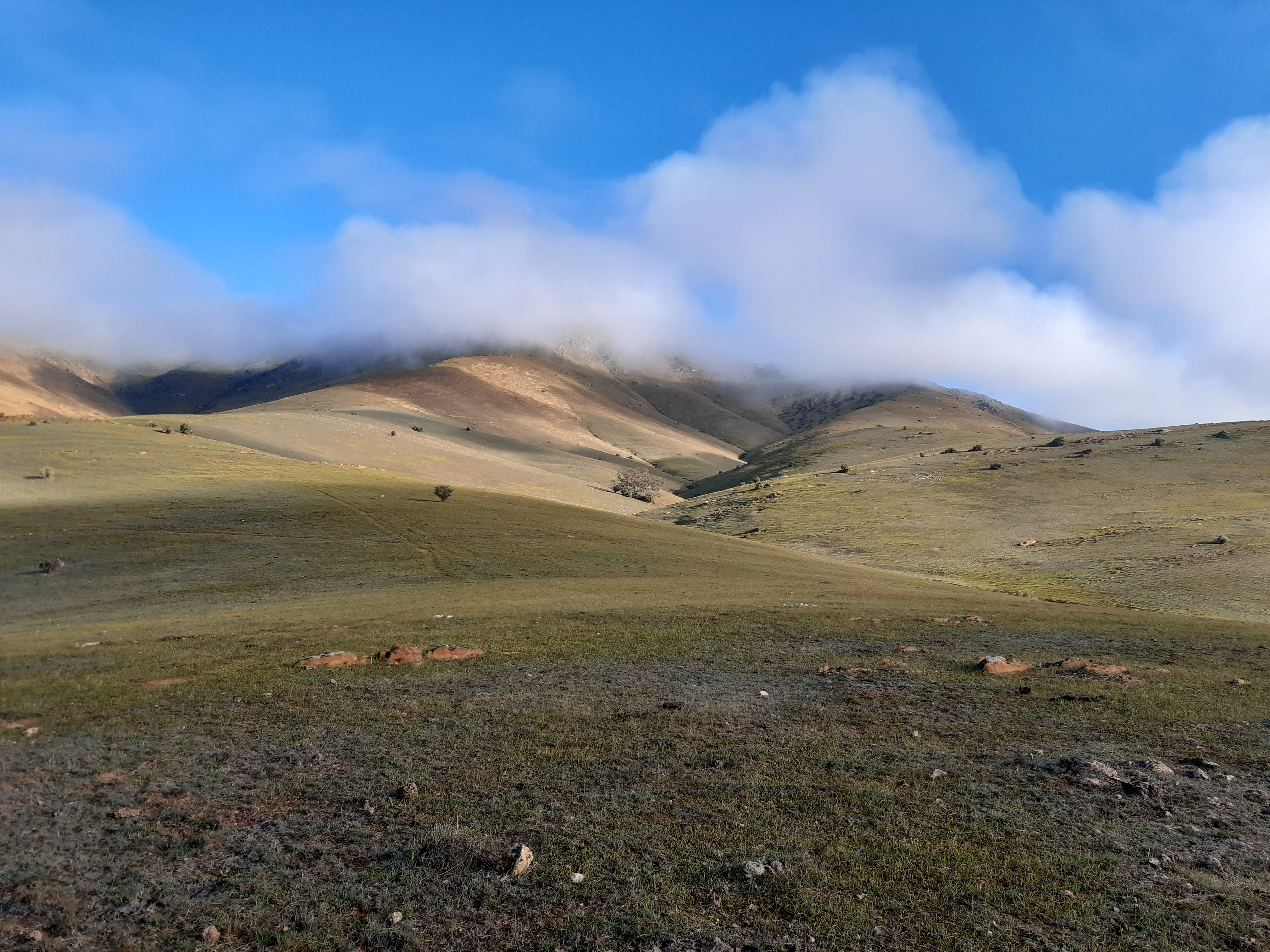
Slowly gaining altitude as the fog lifts.

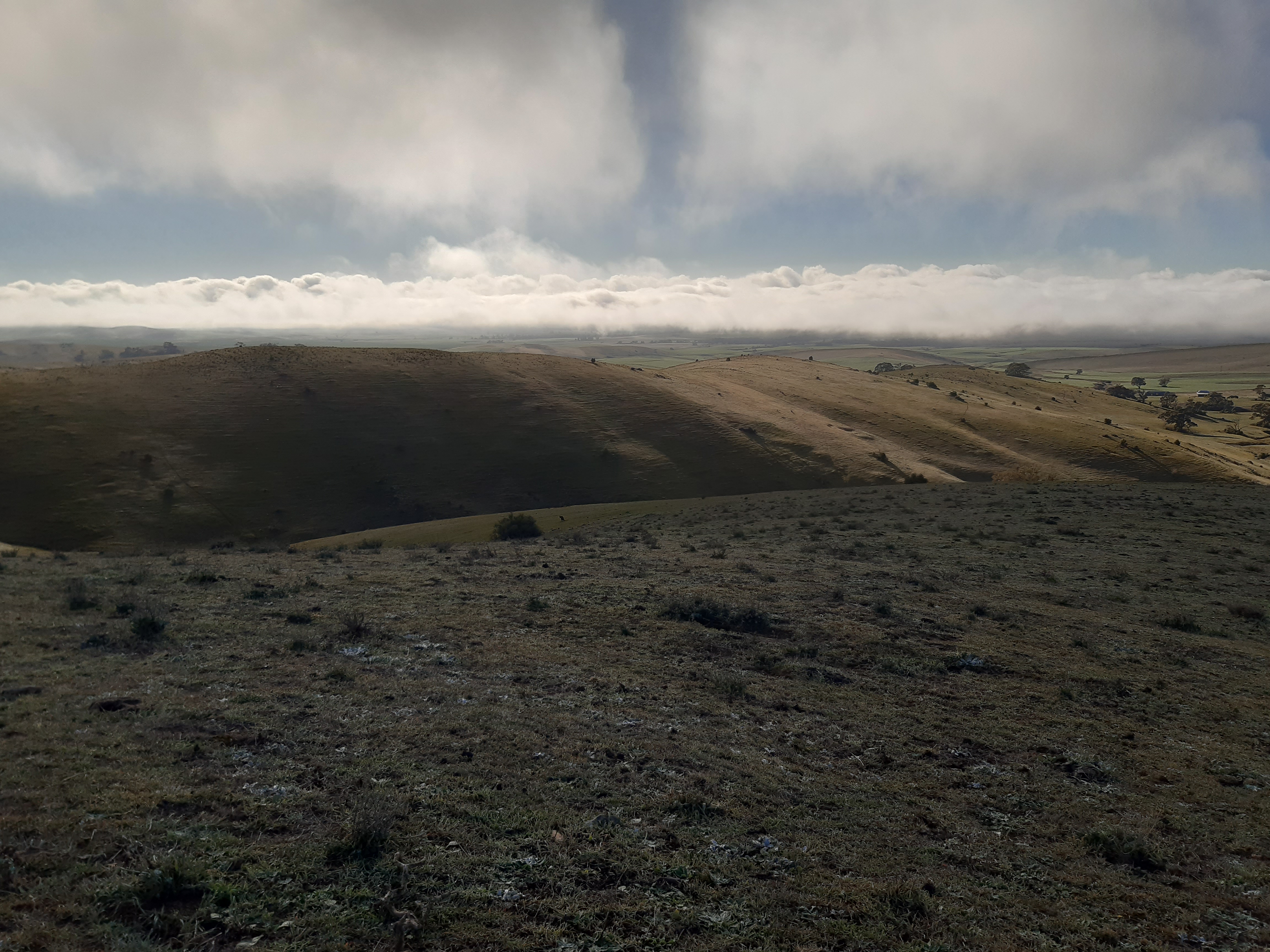
View out west to the Brown Hill wind farm and SOTA summit and my shirt drying in the breeze.
I saw another hiker on the way up he was just ahead of me but I had to wait until the top to talk to him I could not gain on him enough on the climb. He was interested in what I was doing and took a few photos of me on CW, which seems to amaze most non ham folks that see me operate cw.
Had a nice group on 80m ssb first then 11 cw contacts on 40m with a pile up to work through to start off, always good to get them. No answer at all on 40m ssb, having plenty of time I spotted on 20m to find 2 ZL’s waiting for me and VK4DBJ on cw, a nice surprise and new contact for me.
Walk time up was 53 minutes walking, pretty slow going with some steep gain percentages but a good track as part of The Heysen Trail.
Thanks chasers on Mt Bryan VK5/SE-001
The Dutchmans Stern. VK5/NE-028
Leaving Clare at 6 am and minus 2c it was a frosty drive all the way until after sunrise north of Wilmington, I met Ian VK5IS in Laura again for another SOTA with the 2 Ian’s.
After a quick Coffee break and feed at The Dutchman’s Stern car park we hit the walking trail at 9 am allowing 2 hours to make the summit. Lots of female Kangaroos grazing on the side of the track with a small head sticking out of the pouch was a nice greeting to their world. The way to the summit is via the South Track which is about 6.2 km to the top, not as much gain in the ground to the top of this one as it is only around 200 metres of gain from the car park. We made our usual 4 km in the first hour then stopped for a drink and take off any warmer clothes etc.


Lower part of the track wanders around the sides of the gullies on a gradual climb for the first 5 km until we reach the spot to turn off the trail and head bush for the last 1.5 km of bush bash. The first time I visited here there were a lot of Goats and they made a track to follow but now it is all over grown again.
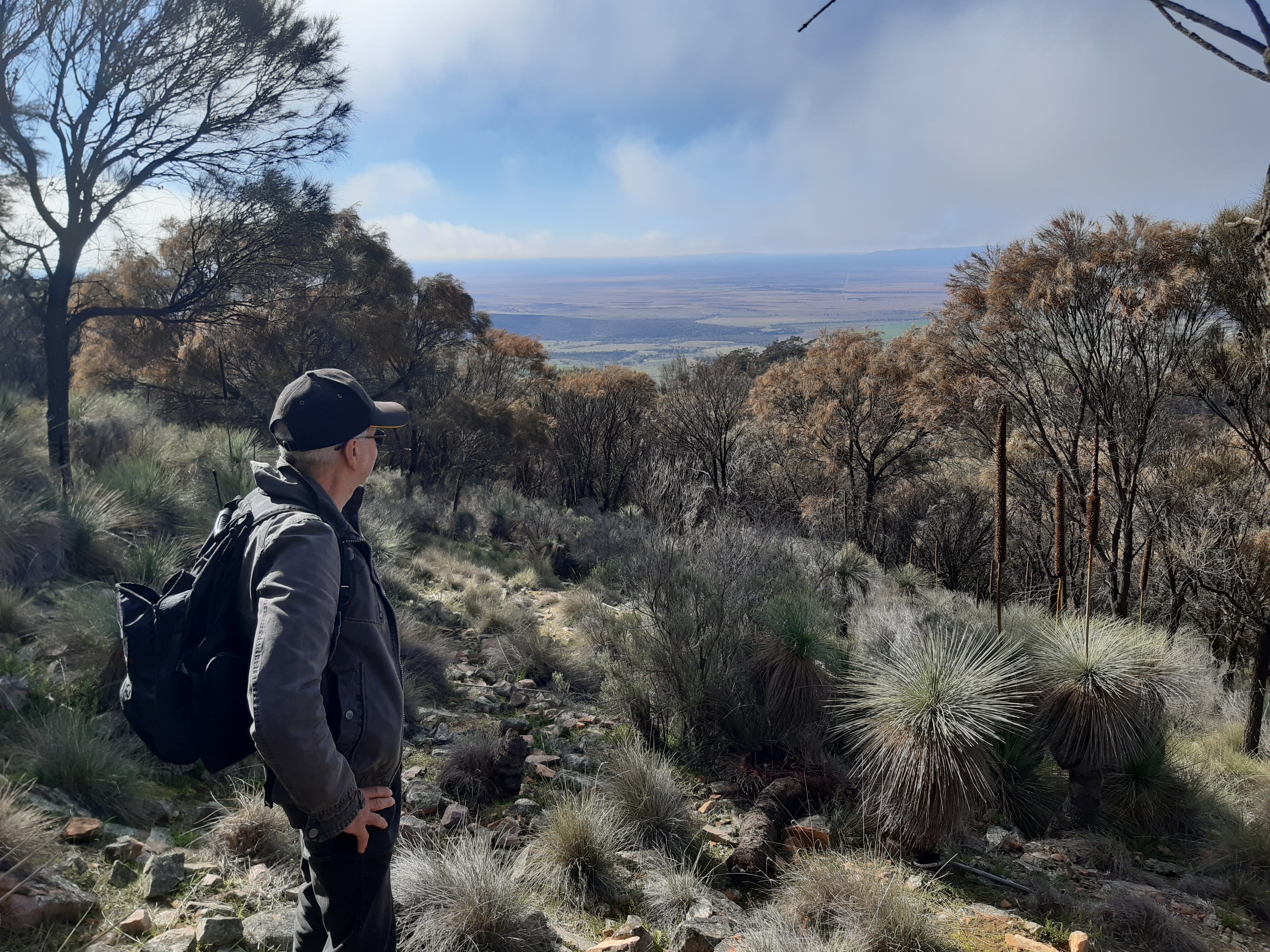
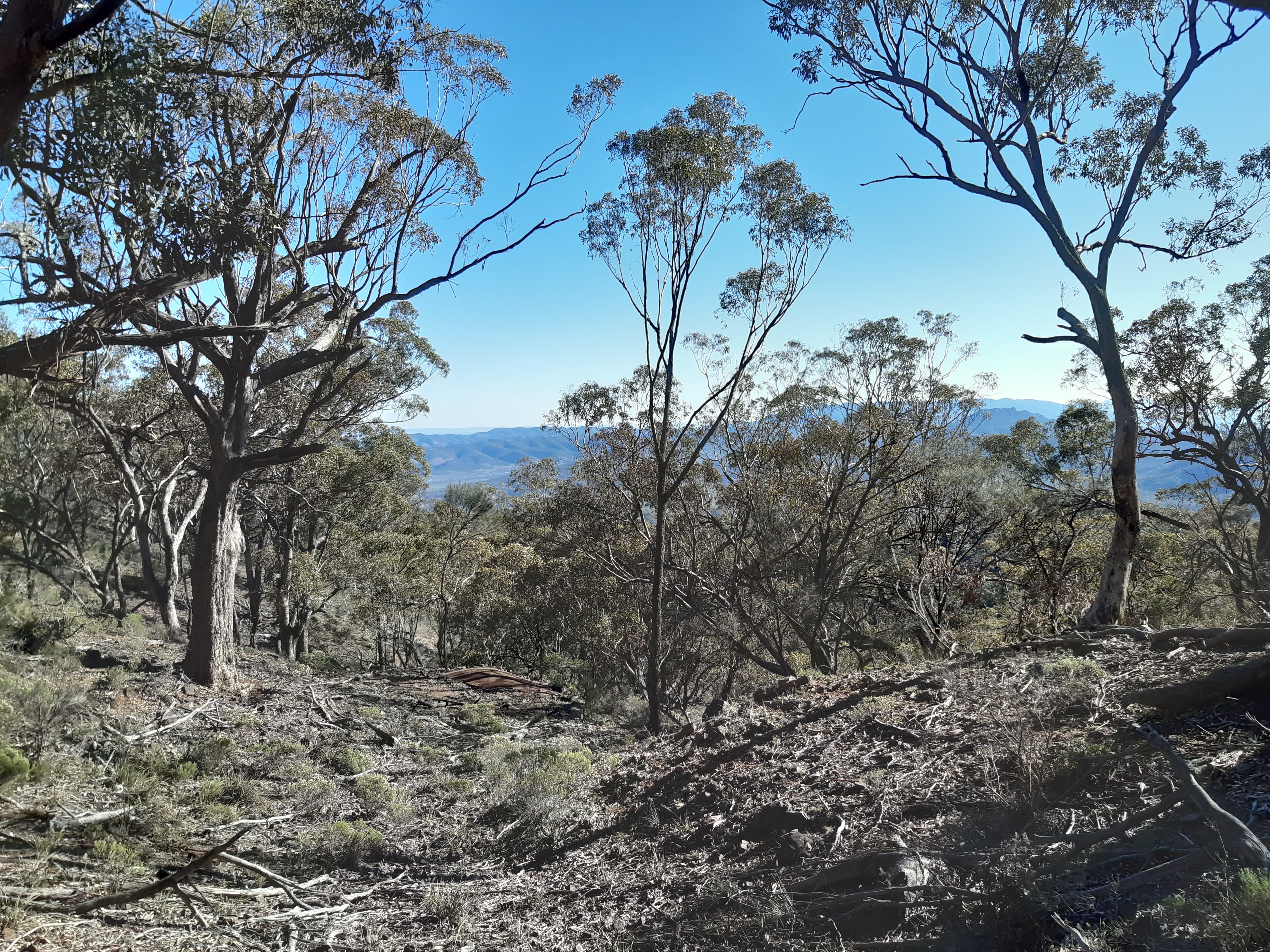
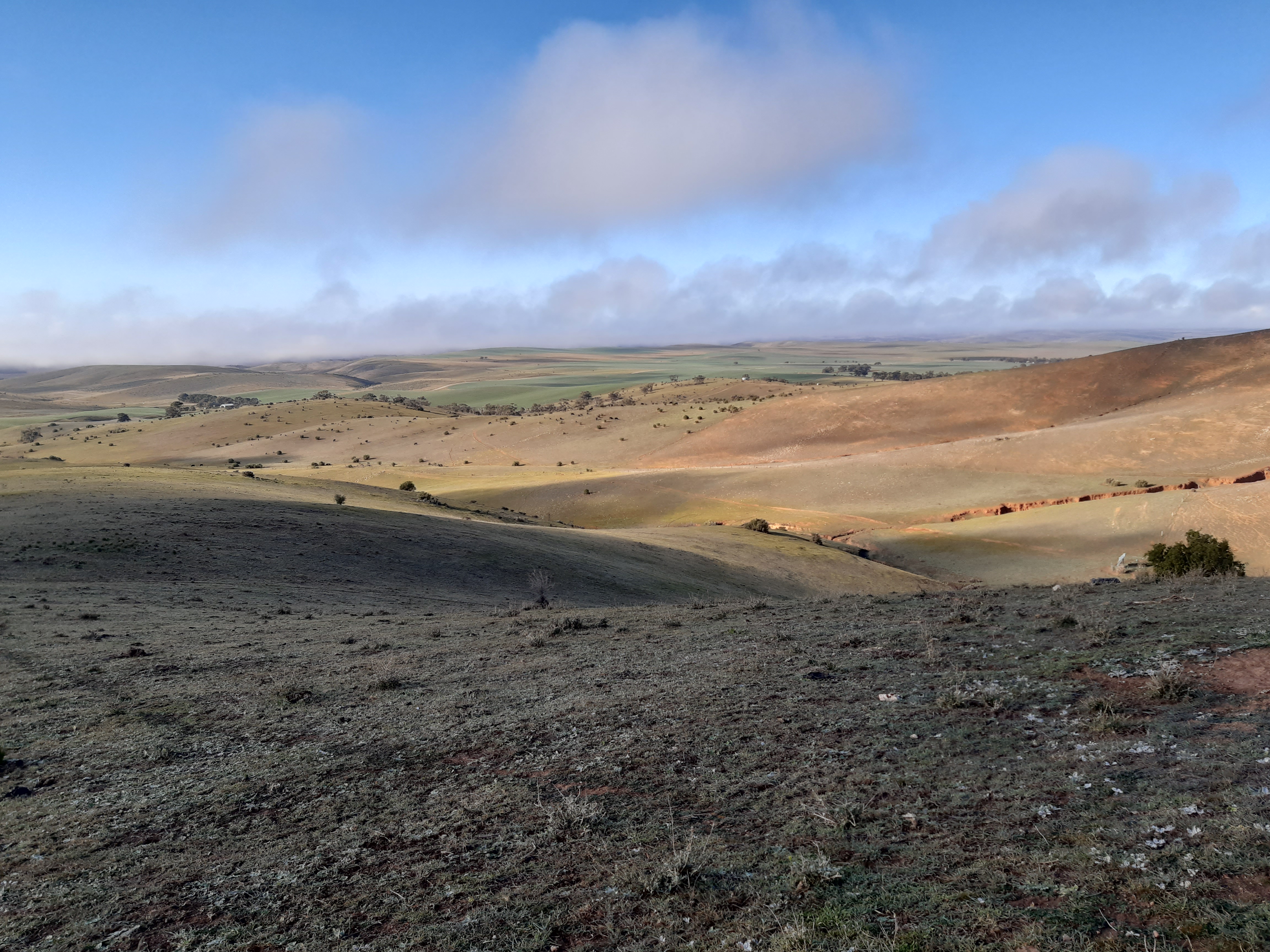
We are having a spell and checking the views out to the East,the Sheoaks seem to only grow after a certain height on the sides of the hills with lots of Spinifex, Yacka Bush and rocks as the under story.


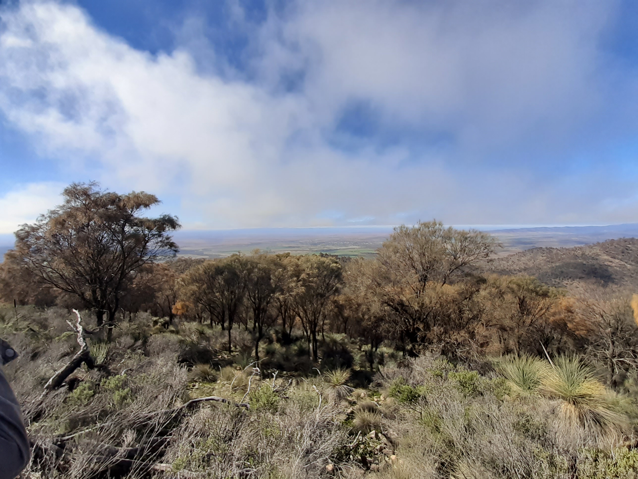
Devils Peak, Richman Hill and Mount Brown off to the south from here some other summits I visit in this area. It is also always good to see the other side of the range out to the West it means we are nearly there.

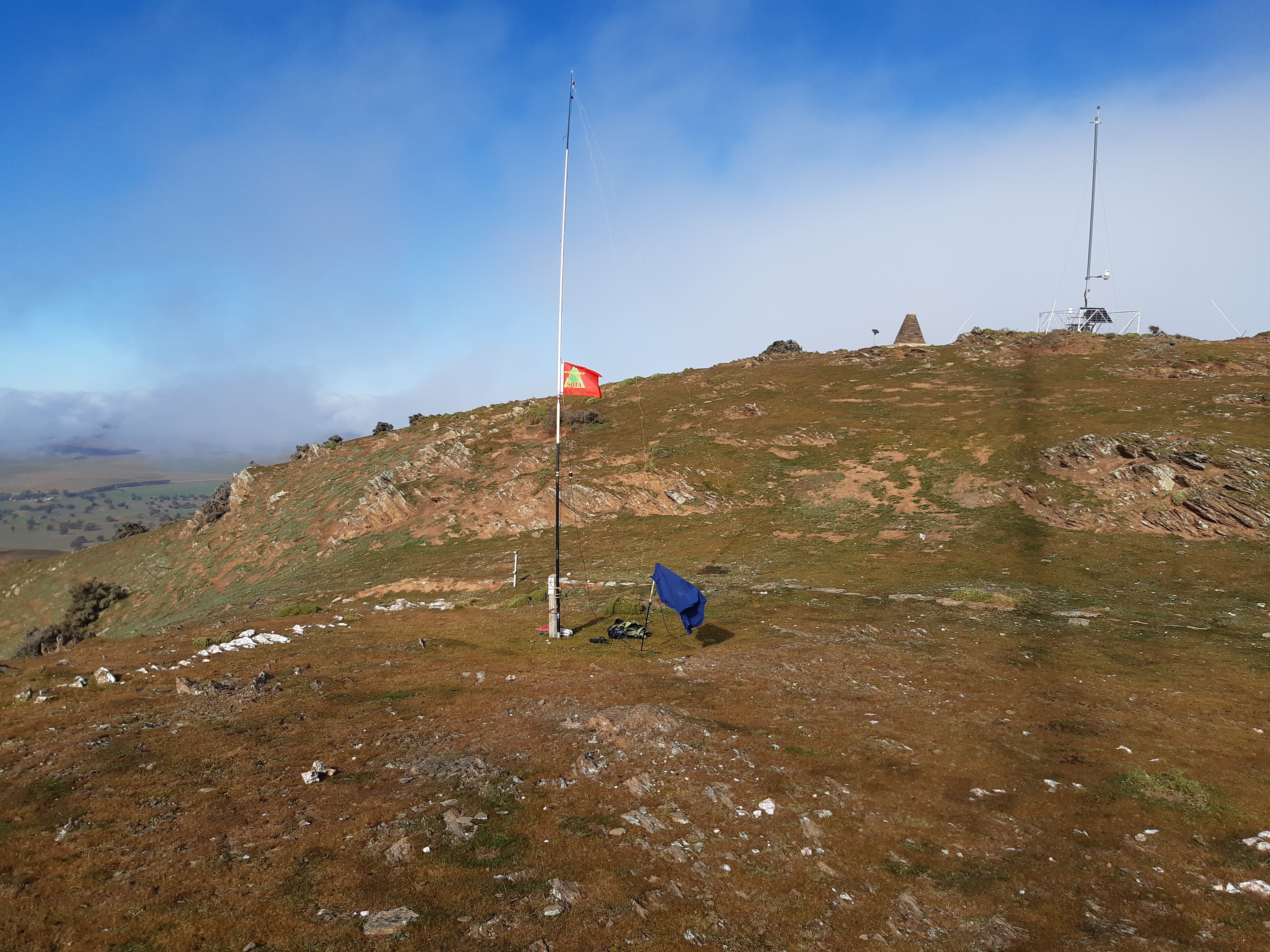
Summit in sight and after setting up, hard at work on 80m ssb working the local chasers. Ian and I had a turn at working the 80m ssb callers then Ian went on 40m ssb to get a couple more scores to qualify then I had a go on 40m cw. Made 4 more contacts on 40m cw to VK3PF VK2IO ZL2IFB and ZL1BYZ, but no answer to my cq on 20m cw. I have made a Flower Pot antenna out of coax for 2m and had it hanging in a bush, we made a test QSO to VK5WE and VK5GY several km south of where we were. I tested the path to VK5RLH repeater and got it back at half scale on my VX8 handheld, it was 173 km as a straight line on Google earth. Interesting thing was the straight line path was West of the Flinders in line almost with Highway 1 and Mambray Creek. That is probably why it was an unexpected good signal to me having none of the Flinders Ranges south of us in the way.
Back to the best cafe in the Flinders the Quondong Cafe for a quick Covid-19 coffee out side the shop then back to Laura to drop Ian off.
The walk was 12.6 km took 3 hrs 40 minutes on the move and we arrived back to the SOTA transporter a bit sore but I think feeling better than other times we have done this hike.
Thanks Ian for your company once again.
Thanks to the Chasers on Dutchmans Stern VK5/NE-028.
Thanks for reading My Blog.
Regards Ian vk5cz ..

Great pictures and great write up.
Well done to you all.
Cheers
Chris
VK5FR